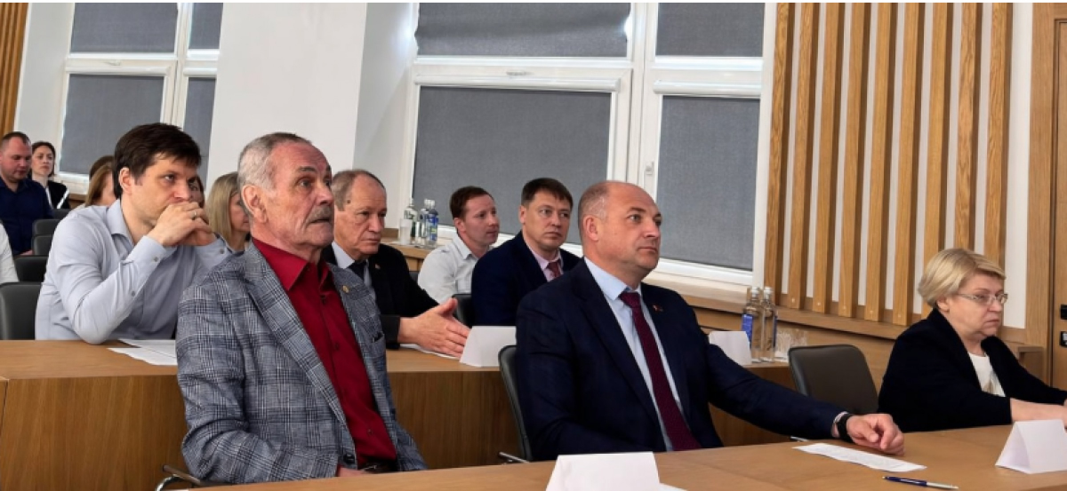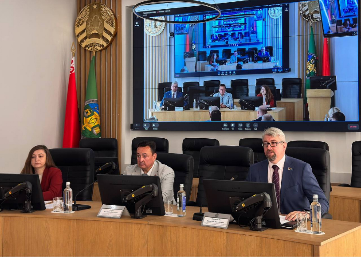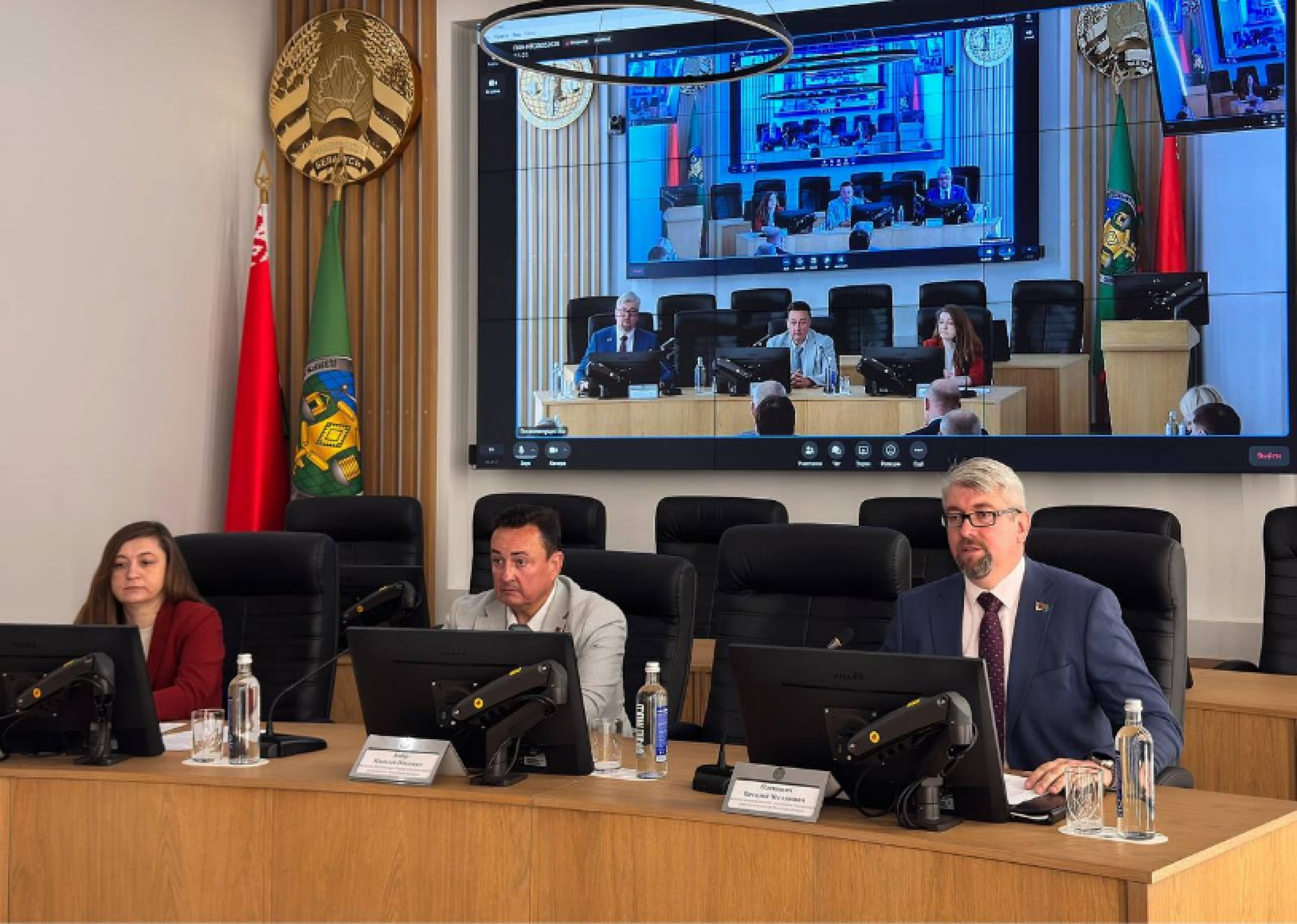
On May 6, the State Property Committee of the Republic of Belarus held a meeting of the Scientific and Technical Council’s section on geodesy and cartography. The meeting was attended by Professor Vladimir Pavlovich Podshivalov, Doctor of Sciences and a leading expert in the field of geodesy, from the Department of Geodesy and Aerospace Geotechnologies of the Faculty of Transport Communications at the Belarusian National Technical University.
Key issues of the industry’s development were discussed:
-
modernisation of coordinate systems: the country is transitioning to the state geocentric coordinate system of 2020, which is harmonised with the international ITRS system as of epoch 1 January 2020;
-
introduction of a new normal height system to replace the Baltic height system of 1977. A unified normal height system, based on the Earth’s modern gravitational field, is being implemented. The state system of gravity acceleration reference of 2020 and the national quasigeoid model, which ensures a correct relationship between planar coordinates and heights, have been approved.
Another important direction is the formation of the state atlas information system “National Atlas of Belarus” — a modern web platform for centralized storage, updating, searching, and rapid provision of cartographic data to users.